You can export your web map to several graphic formats and download to your local drive. This allows you to embed a static .pdf file or image into other web sites, reports, and documents related to your planning project.
- Click the Open Menu button in the upper left corner of the application and click Print.
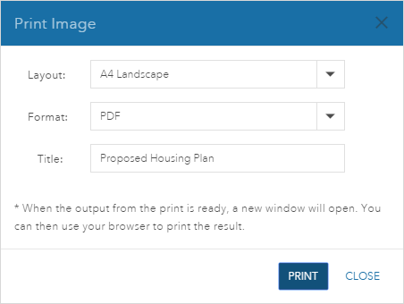
The Print Image window appears.

- In the Print Image window, select layout, format, and provide a title for the print. The layout can be MAP_ONLY, A3 Landscape, A3 Portrait, and so on. The MAP_ONLY layout only displays a snapshot of the map, while the other layouts display the map scale, scale bar, date, and title in addition to a snapshot of the map. The format options are PDF, PNG32, PNG8, JPG, GIF, and so on.
- Click Print.
The print image process starts. When the process is complete, the image will open in a new browser window.
Note:
You will need to enable pop-ups in your web browser to view the image.