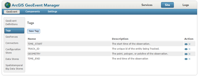
A tag is a label placed on a particular field of a GeoEvent Definition. Tags are similar to field aliases; they support consistency in expressions when different event definitions associate similar data with different field names. Certain built-in tags identify GeoEvent fields containing critical information such as TRACK_ID or GEOMETRY.
Individual fields in a GeoEvent Definition can be tagged with a GeoEvent tag. The same tag can be applied to different fields in different GeoEvent Definitions to indicate that those fields contain similar or compatible data. However, within a given GeoEvent Definition, a tag can be applied to only one field.
Administrators can view available tags by browsing to Site > GeoEvent > Tags in GeoEvent Manager.
