Measurement widget
In this topic
The Measurement widget allows the user to measure the area of a polygon, length of a line, or find the coordinates of a point.
Note:
If the map's coordinate system is not Web Mercator or geographic, or if complex polygons are drawn, the Measurement widget needs to use the geometry service to project or simplify geometries.
Configuring the Measurement widget
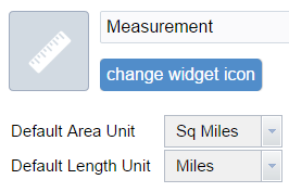
Click the edit icon on the widget to open the configuration properties.

The Default Area Unit parameter allows you to configure the pre-selected unit of measure for polygon measurements. Options are:
- Acres
- Sq Miles
- Sq Kilometers
- Hectares
- Sq Yards
- Sq Feet
- Sq Meters
The Default Length Unit parameter allows you to configure the pre-selected unit of measure for line/polyline measurements. Options are:
- Miles
- Kilometers
- Feet
- Meters
- Yards
- Nautical Miles
Click OK to close the dialog box when finished.
Using the Measurement widget
Click the widget icon to open the Measurement widget.
Point measurements
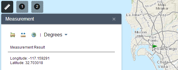
Click the point measurement icon  and click a point on the map. The Measurement widget displays the coordinates for the point in Degrees (decimal). You may change the coordinate display format to degrees/minutes/seconds by changing the Degrees drop-down to DMS.

Polyline measurements
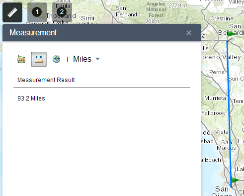
Click the polyline measurement icon  and draw a polyline on the map by clicking two or more points. Double-click to finish drawing the polyline. The Measurement widget displays the total length of the polyline, using the defined Default Length Unit. To change the length unit, select the applicable unit of measure from the Milesdrop-down menu.

Polygon measurements
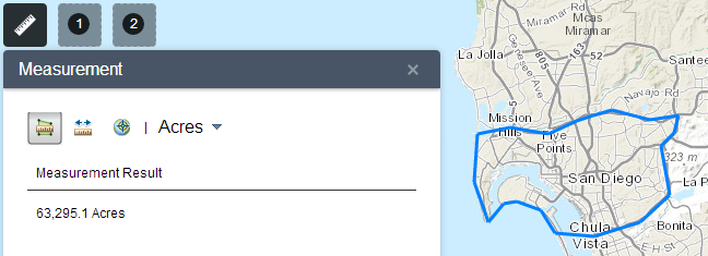
Click the polygon measurement icon  and draw a polygon on the map by clicking three or more points. Double-click to finish drawing the polygon. The Measurement widget displays the total area of the polygon, using the defined Default Area Unit. To change the area unit, select the applicable unit of measure from the Acres drop-down menu.
